- English
- Русский
Languages:
This site is created using Wikimapia data. Wikimapia is an open-content collaborative map project contributed by volunteers around the world. It contains information about 32570415 places and counting.
Learn more about Wikimapia and cityguides.
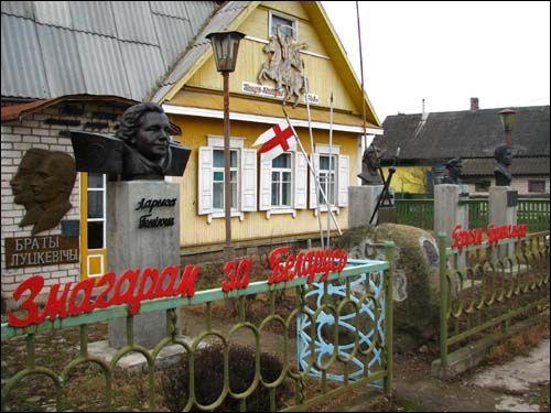
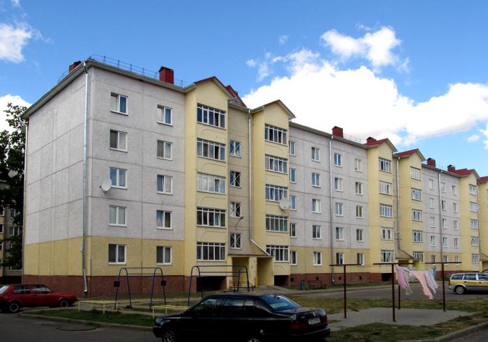
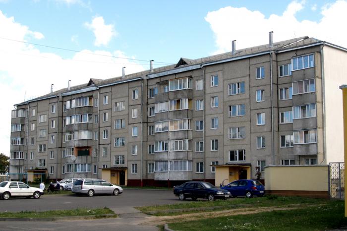
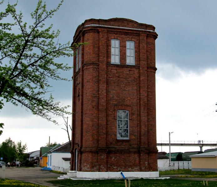
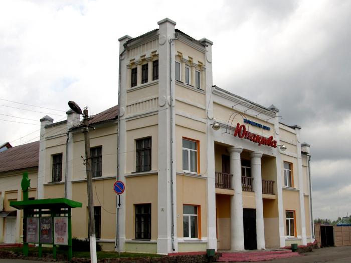
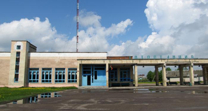
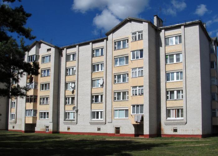
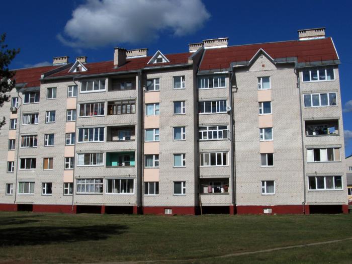
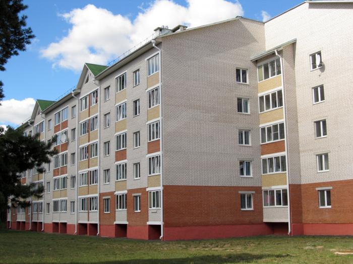
Staryja Darohi
aka Starye Dorogi
Wikipedia article: http://en.wikipedia.org/wiki/Staryya_Darohi
Staryja Darohi on the map.